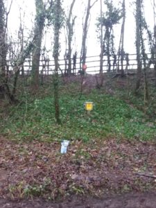
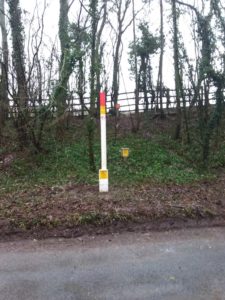
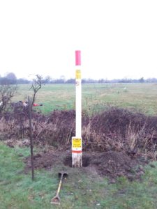
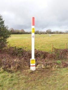
Teams are out this week installing aerial marker posts along the gas pipeline, to enable the aerial teams situated in helicopters to locate the pipeline with ease, and if anyone is working on or near the high pressure pipelines the encroachment can be reported.
Each team is supplied with an official utility map, showing the location of the pipelines, prior to the works and a grid reference where to install, the team will then confirm & identify where the pipeline is via a RD7100 survey, this picks up the pipeline on CPS mode to the correct depth & line of the pipeline.
Landowners are contacted prior to posts being installed on their land and permission granted.
Hand dig methodology to a depth of 500mm, install & backfill.


