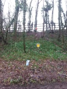
Each team is supplied with an official utility map, showing the location of the pipelines, prior to the works and a grid reference where to install, the team will then confirm & identify where the pipeline is via a RD7100 survey, this picks up the pipeline on CPS mode to the correct depth & line of the pipeline.
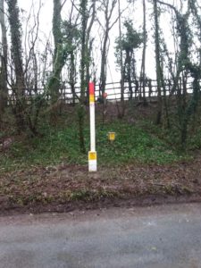
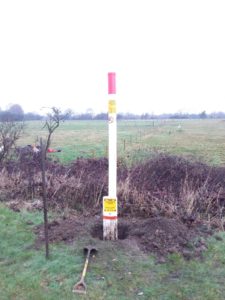
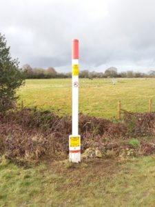
Landowners are contacted prior to posts being installed on their land and permission granted.
Hand dig methodology to a depth of 500mm, install & backfill.